

-
Start Date:
- January 1, 2004 to January 1, 2007
-
Type of Project:
-
Theme of Project:
-
User group:
-
Project Scale:
-
Project Area:
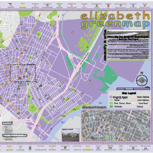
- Elizabeth River / Arthur Kill Watershed, New Jersey
-
Funding:
-
Other Tags:
-
Location Description:
New Jersey USA
Story created by Green Map System on June 29, 2017
Landscape architecture professor David Tulloch and students created the Somerset Green Map project around 2004. It has been an invaluable resource for us as it contributed GIS and design skills to mapmakers based in central New Jersey.
David primarily worked with students at Rutgers University to develop a public participation process that resulted in various Green Maps and academic resources. These maps demonstrate the potential for developing understanding of the role of GIS in environmentalism and community education. Some of the students created award-winning maps. One we especially like is a black and white print 'coloring edition' which encourages young people to add the correct colors for the flowers, insects and such that they discover using the Green Map.
In addition, David collaborated on a community project with Michelle Doran McBean and the Elizabeth River/ Arthur Kill Watershed Association/ Future City Inc, to create the Elizabeth River / Arthur Kill Watershed, New Jersey Green Maps. This environmental justice project was initially focused on water quality and urban heat islands. Since then it has been used as a youth-centric planning project, various features were added, including SOAR program youth drawings for waterfront parks, outdoor classrooms and cafeterias, as well as sites that students found to be good opportunities for wider sidewalks, new trees, bike paths, recycling drop-offs, better use of natural resources, etc. The importance of including the views of youth cannot be understated! See their map at the blue link.